Know Your Place #1 - The Bridges
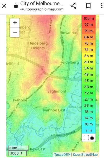
Nearly 4000 people call Eaglemont home. How much do you know about this area, its history, its people?
What matters to you about what stays, what goes in our neighbourhood as it inevitably evolves?
And just what is "neighbourhood character", and is it worth protecting?
The Bridges
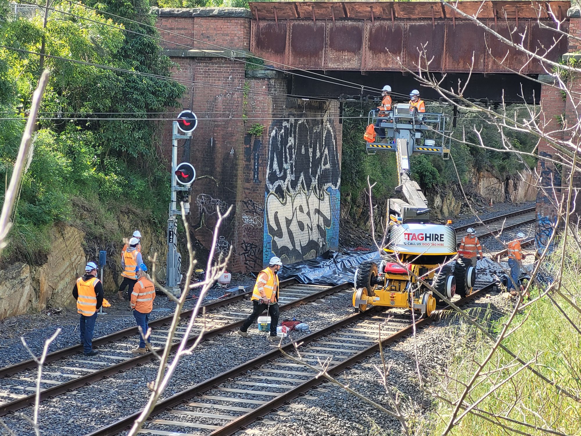
This week we look at the bridges allowing access across the Hurstbridge rail line.
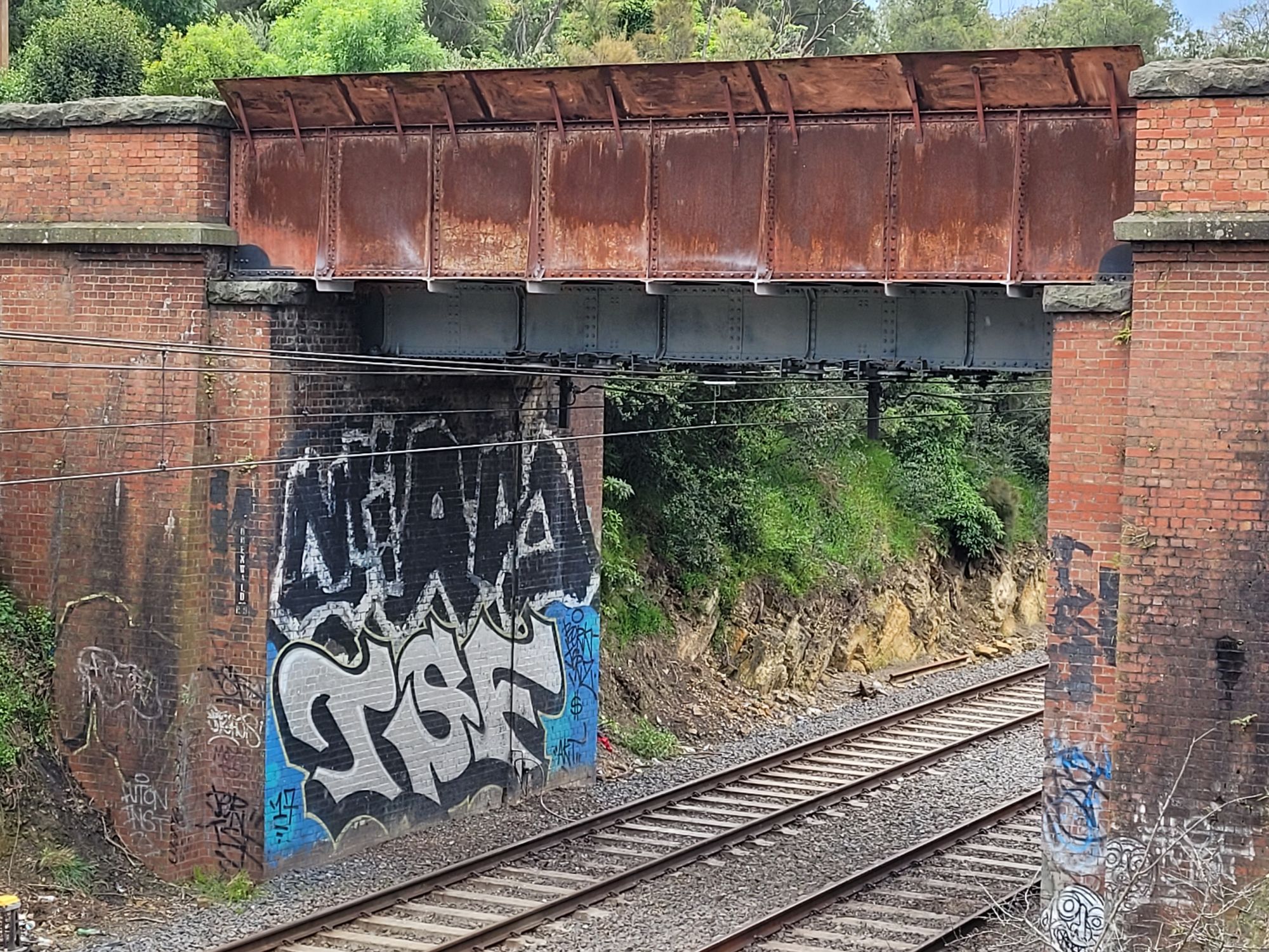
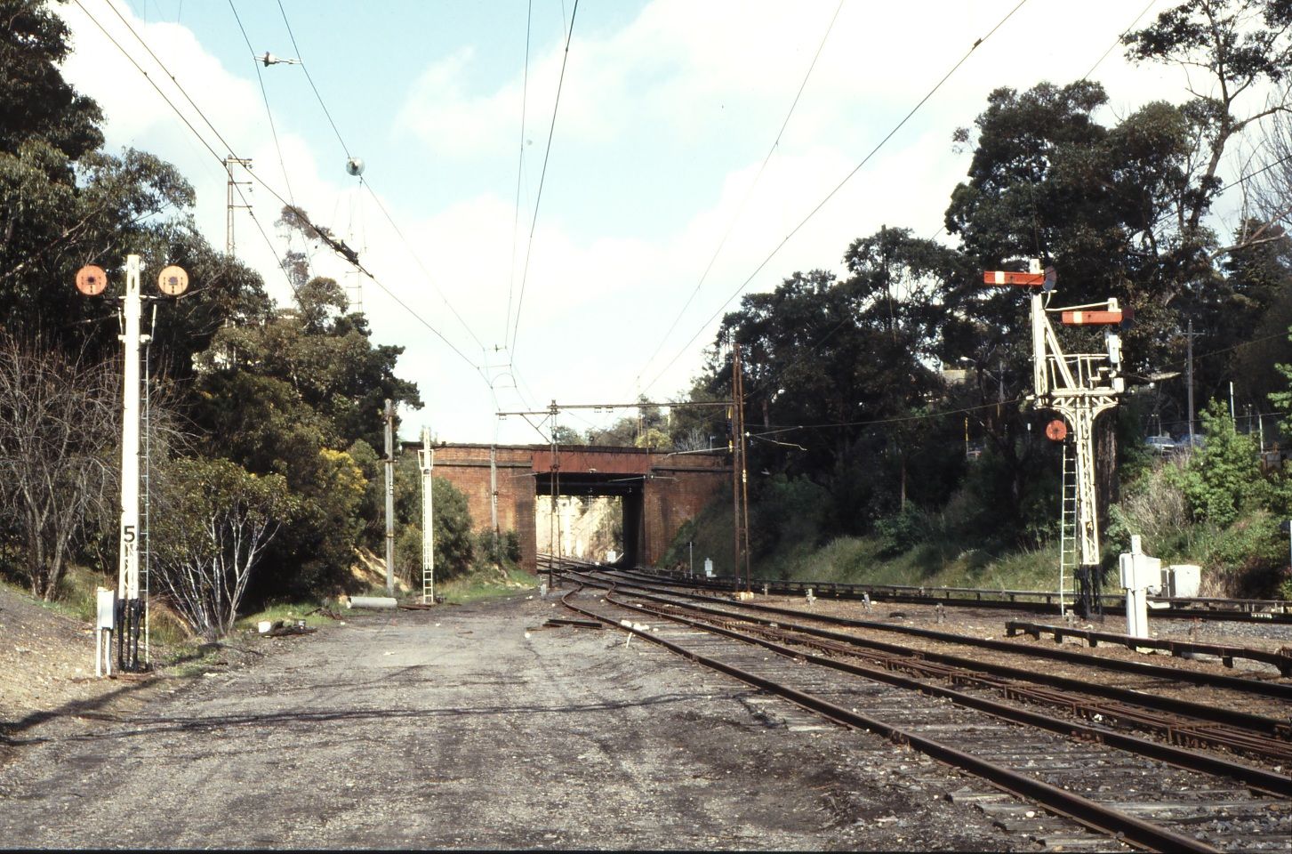
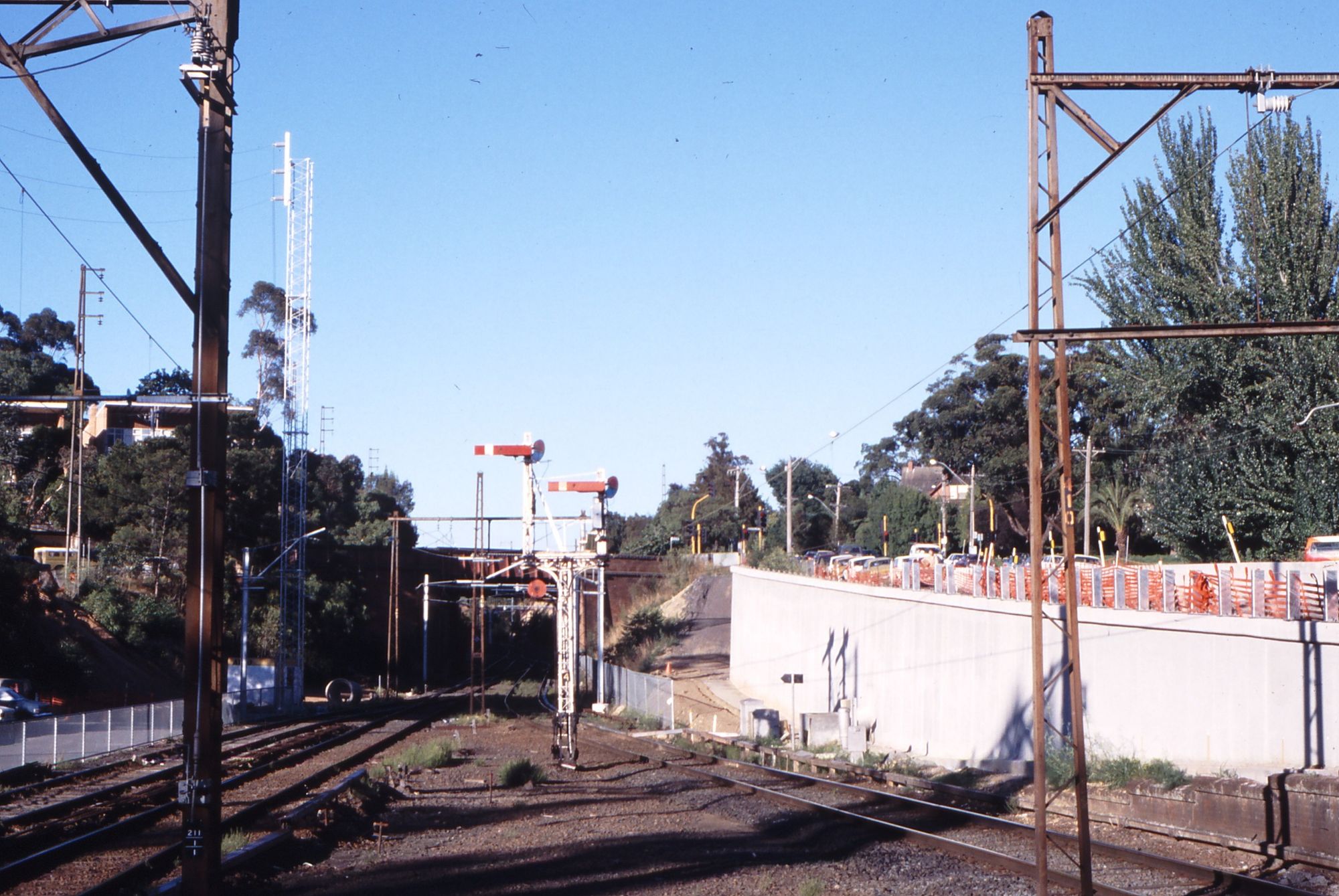
Dating from 1888 this set of bridges are among Banyule's oldest built public structures.
From the railway bridge crossing the ravine of Darebin Creek through to the then terminus station at Heidelberg there were originally 4 bridges allowing traffic to cross the entrenched single rail line.
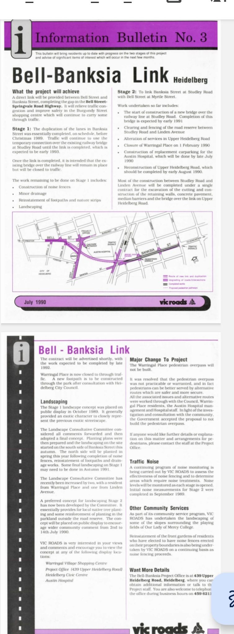
This situation lasted over a century until 1993 when the Bell-Banksia road deviation necessitated a 6 lane bridge over the now duplicated Hurstbridge rail line.
Outbound from the City, the four bridges are Rose Street, Upper Heidelberg Road, Odenwald Road and Banksia Street.
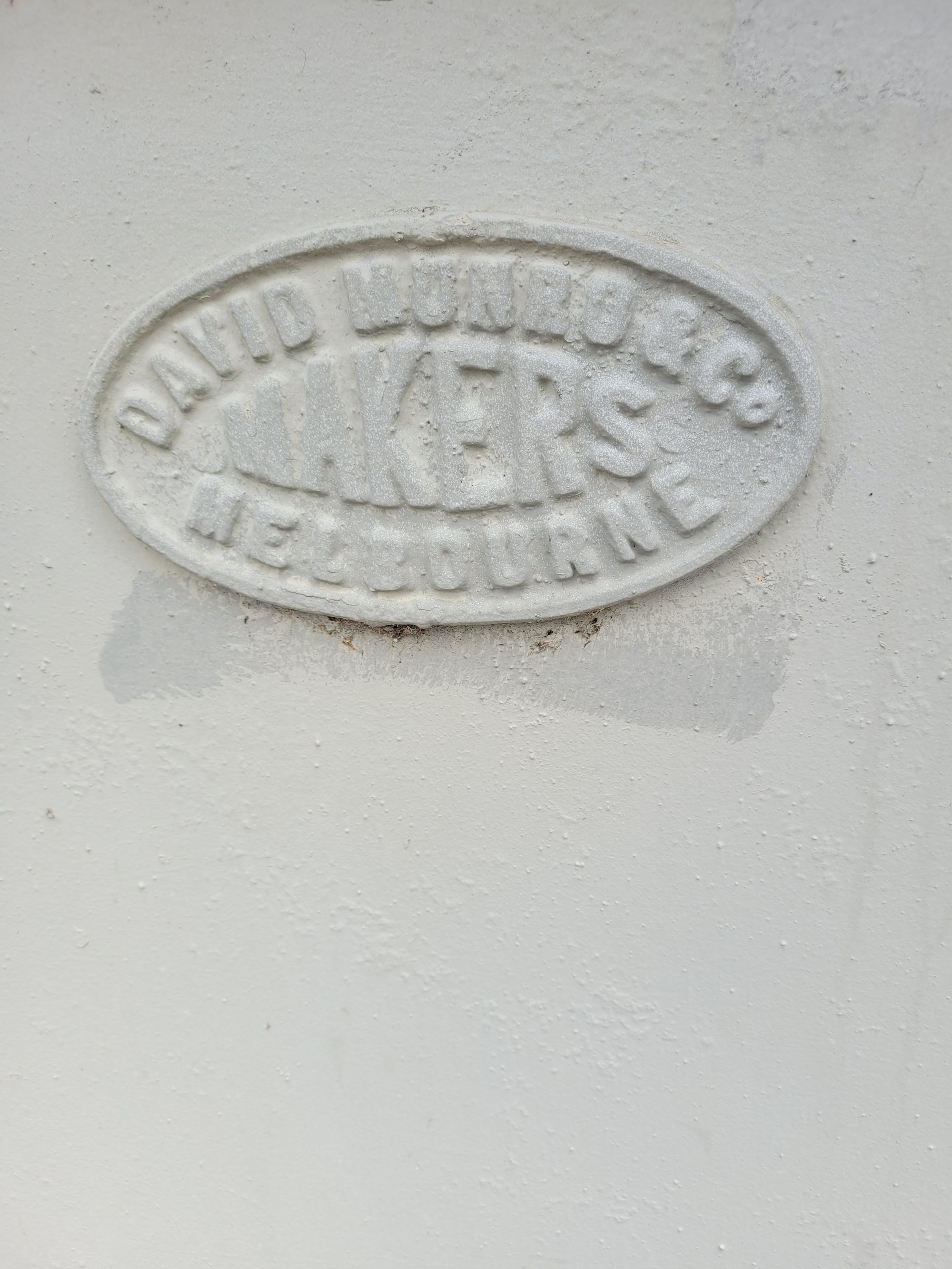
All four bridges were manufactured by the Melbourne engineering firm David Munro & Co.
Rose Street bridge
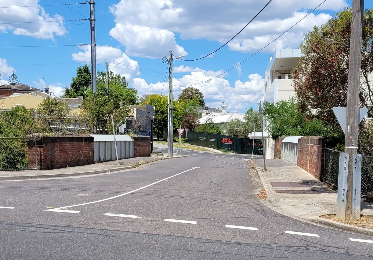
The Rose Street bridge is an enigma. Why was a bridge with two footpaths built on an insignificant village street just 200 yards from the major Upper Heidelberg Road crossing?
Addendum re "accommodation bridges"
["The last named are erected for the benefit of land owners whose land has suffered in an exceptional manner by sub-division for railway purposes. These two "accommodation bridges" will be constructed at "Rockbeare," and upon Mr. Wm. Smith's land near Heidelberg."] The Age, 25.12.1886, Page 13
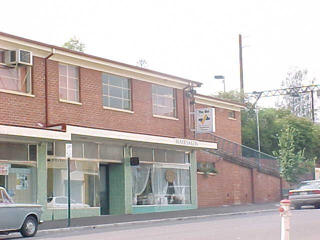
Upper Heidelberg Road bridge

Road traffic to Melbourne's north eastern suburbs has been heavily dependent on the Upper and Lower Heidelberg Roads, not much alleviated by the Eastern Freeway construction.
Perhaps the North East Link now being constructed will reduce pressure and congestion.
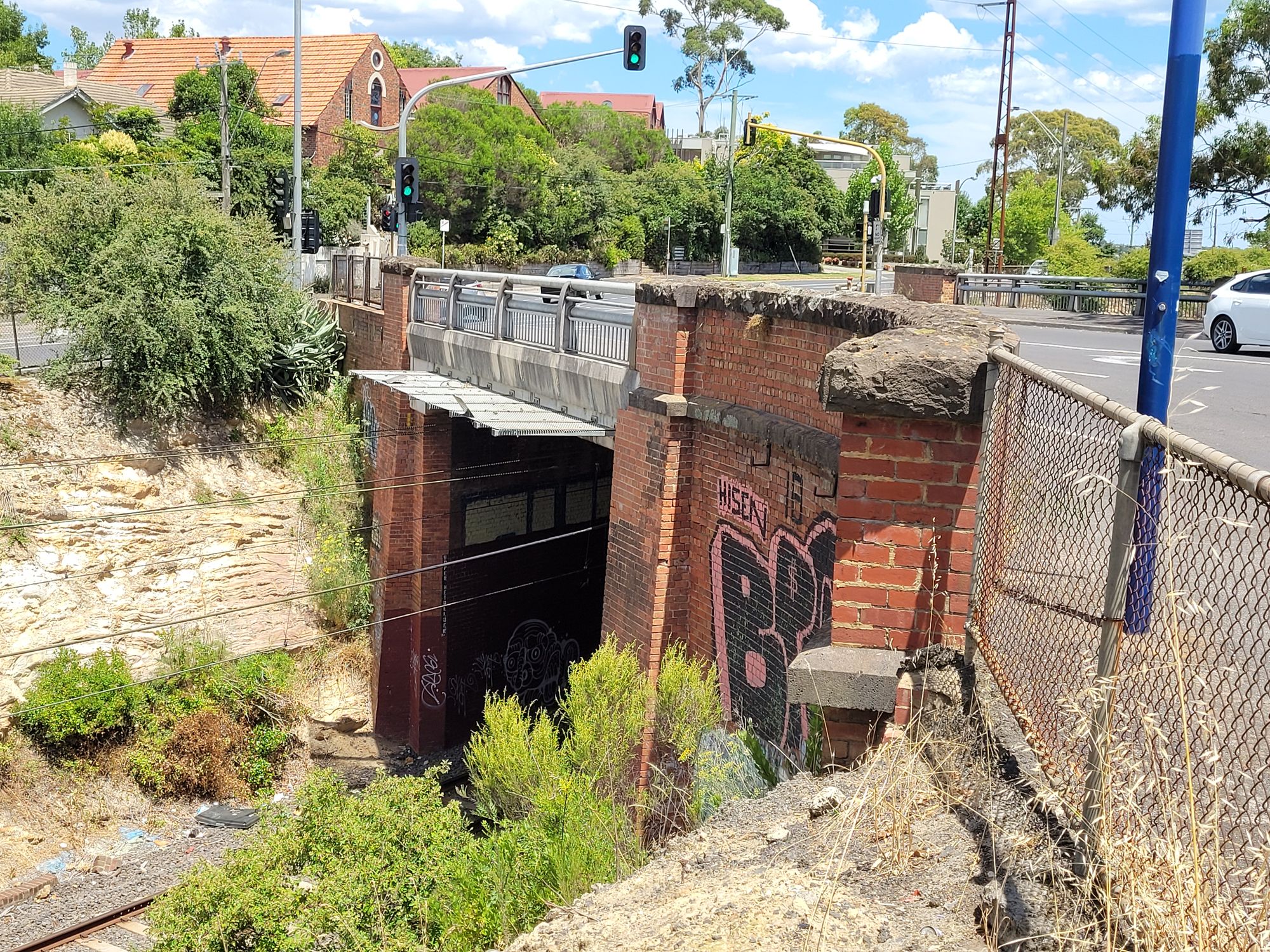
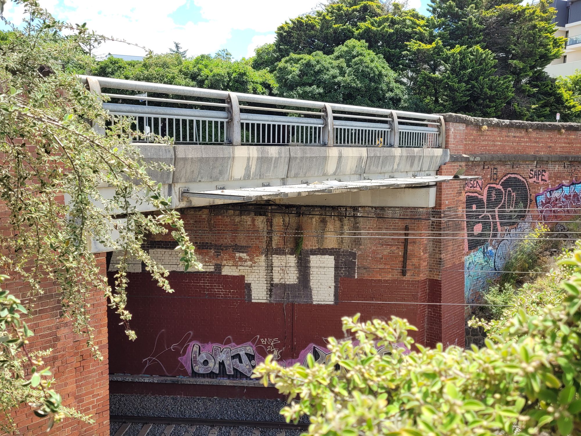
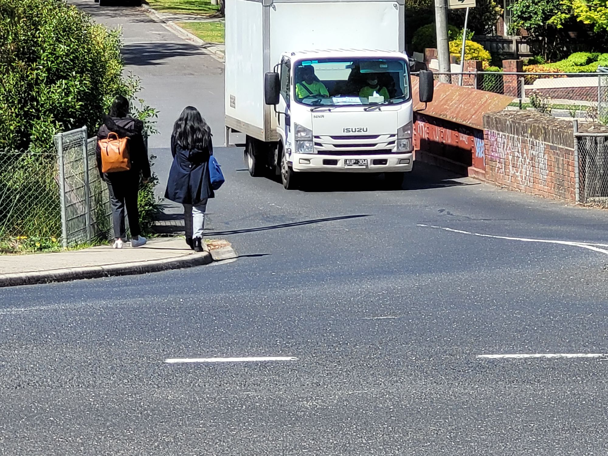
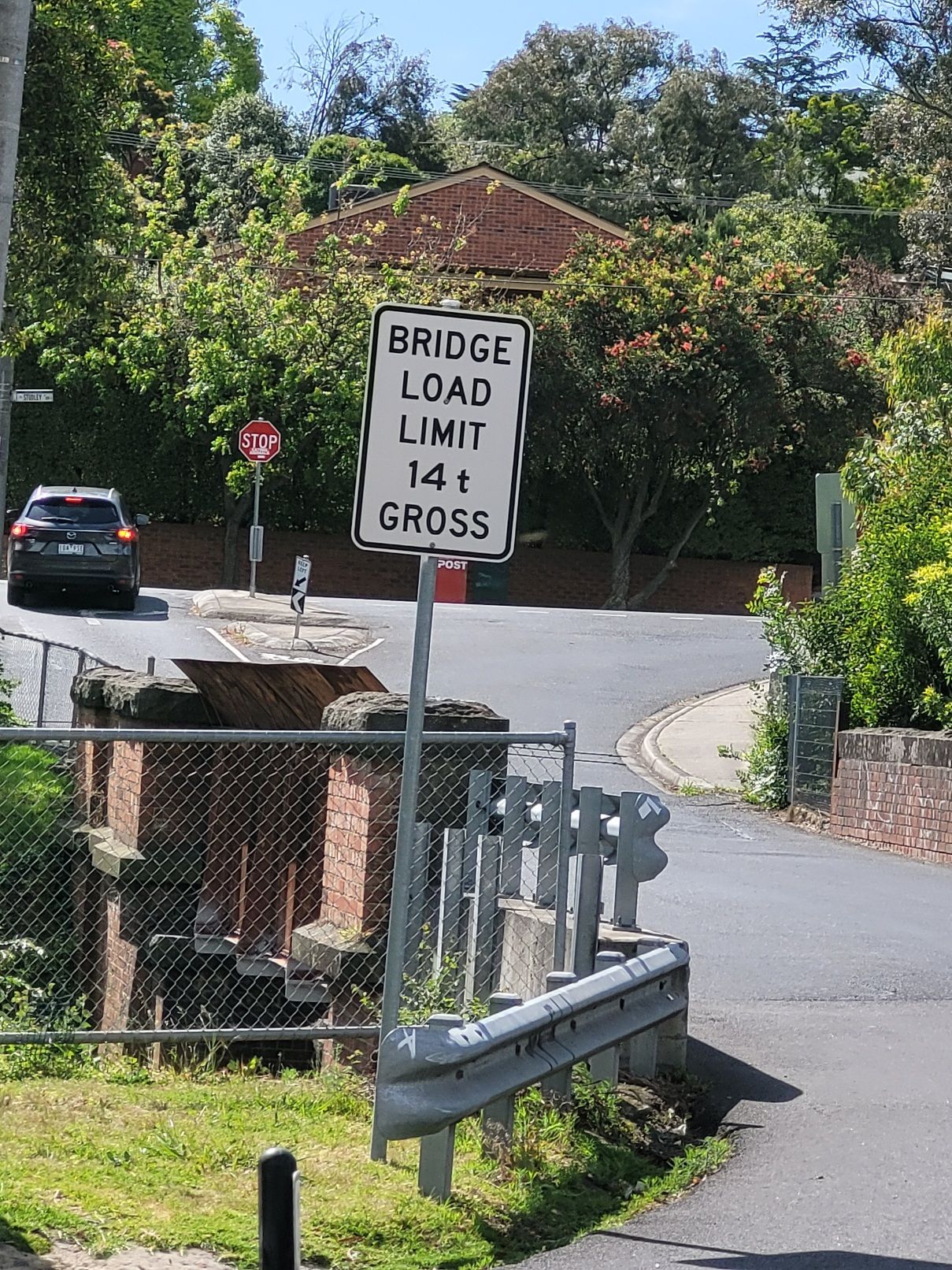
Odenwald Road bridge
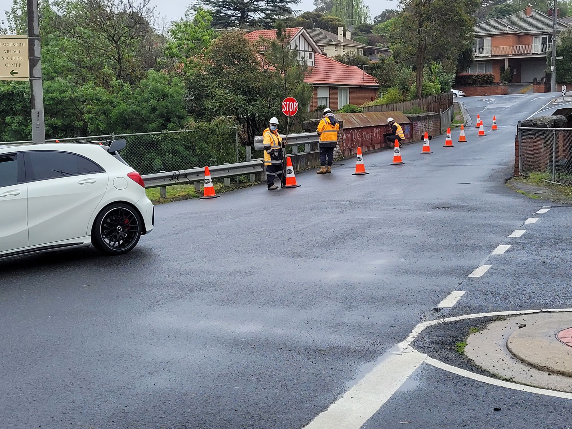
A relic of the past.
The bridge at Odenwald Road harks from horse and cart days.
It was built pre-Federation under the obligation of the railways under English law to keep contiguous any land divided by a rail line.
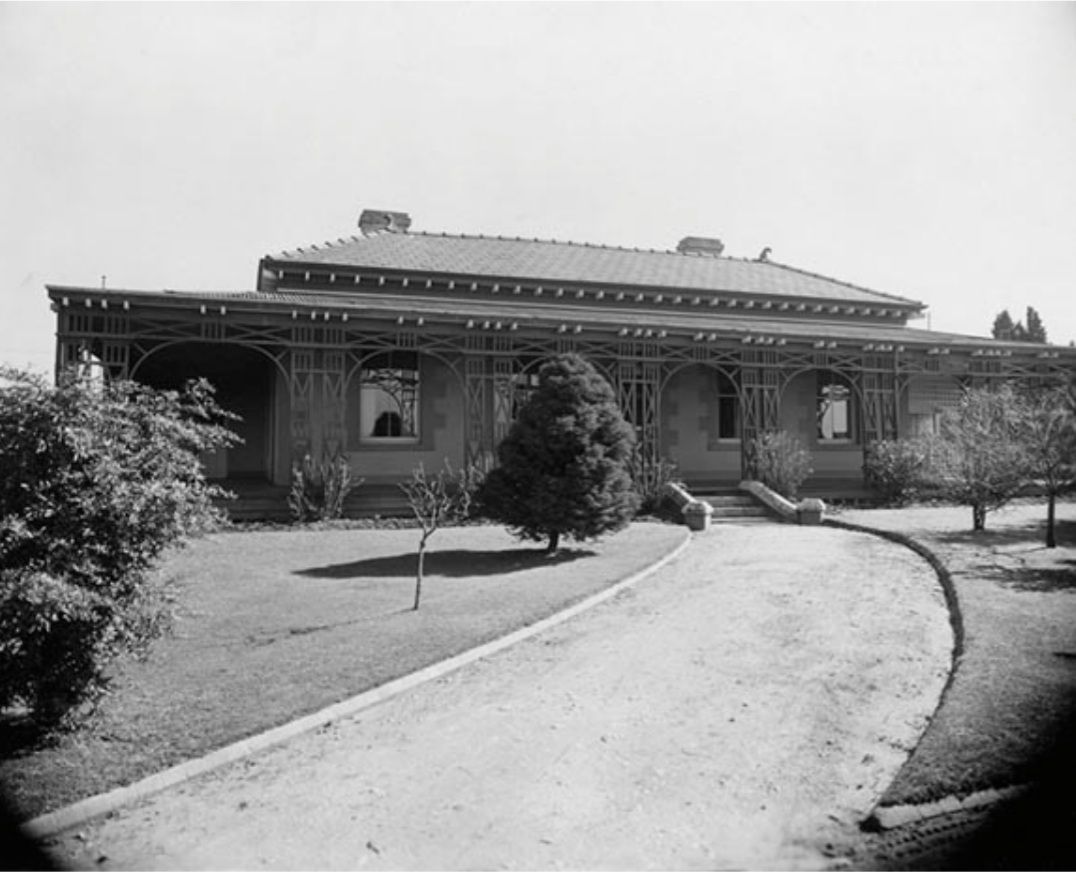
In 1888 Mount Eagle was farmland - there was the single basic farmhouse that was made available to the famous Heidelberg School of Artists.
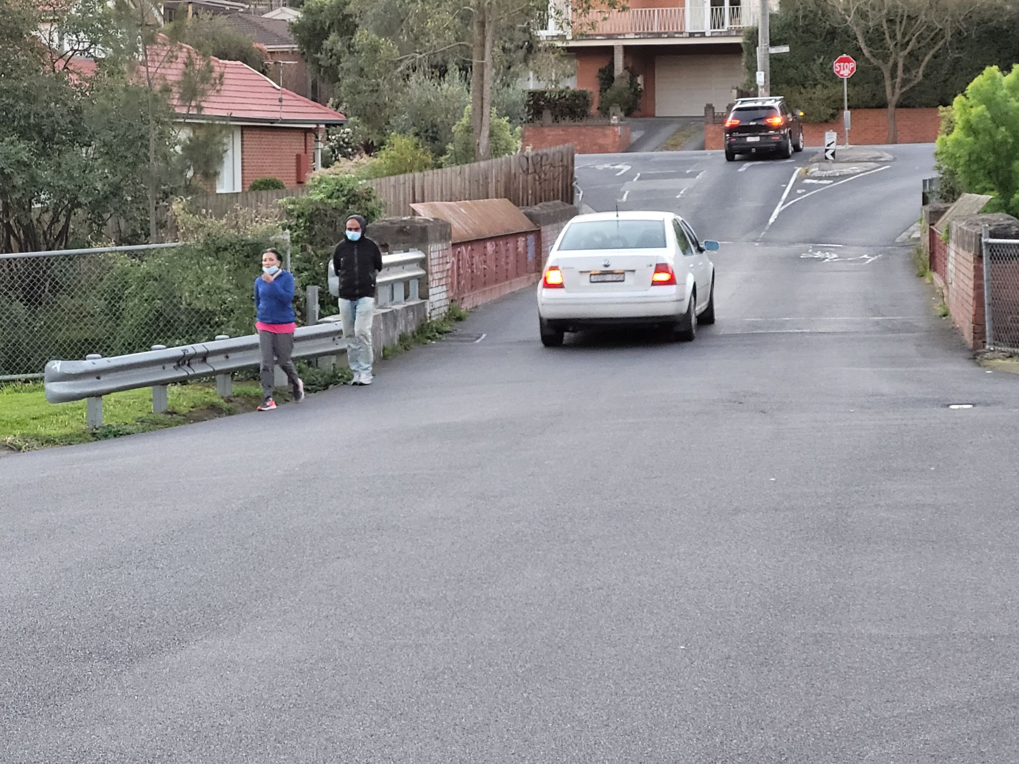
This is why the Odenwald Road bridge was built without footpaths - there were no people living proximate to use them!
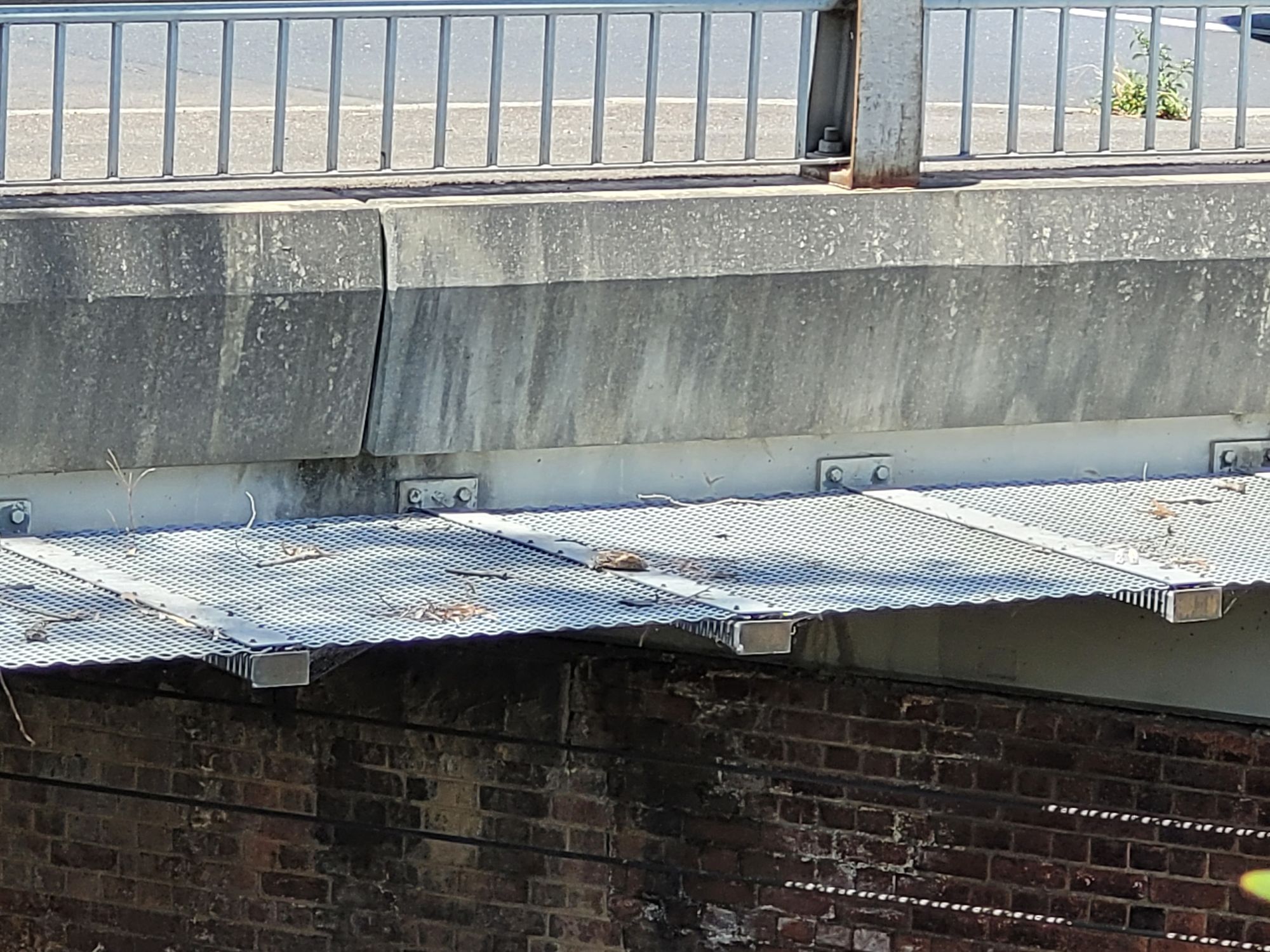
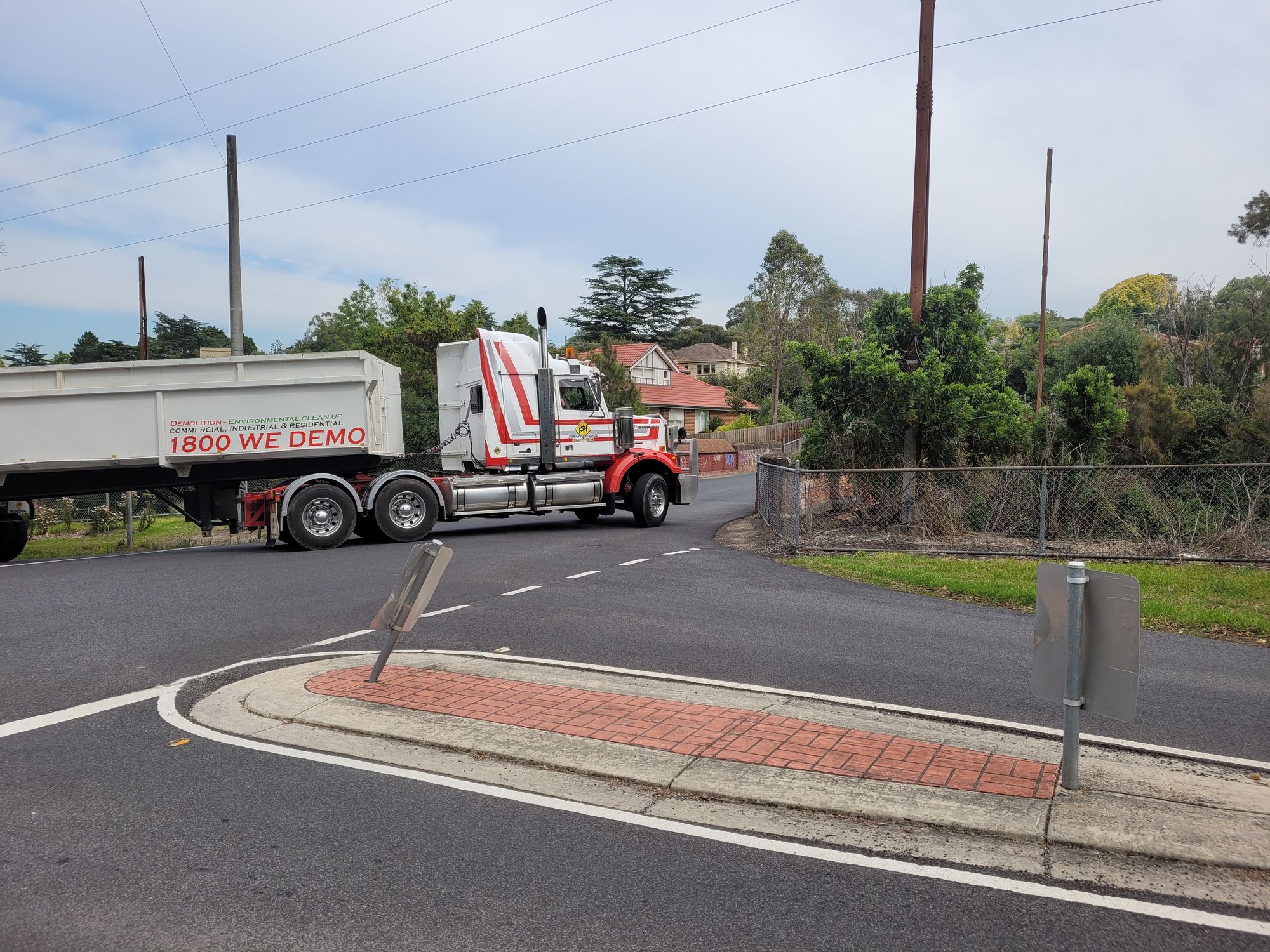
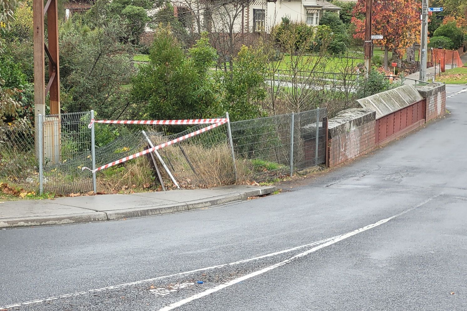
It is oppressively narrow - barely exceeding the Australian Standard's minimum width for a two lane opposed traffic road.
The confines of the brick and bluestone approaches, and the rivetted iron plates across the span, make many motorists apprehensive about entering the bridge when any other vehicle is nearby.
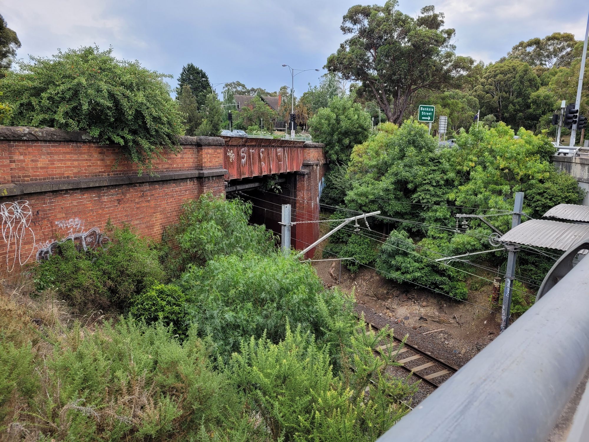
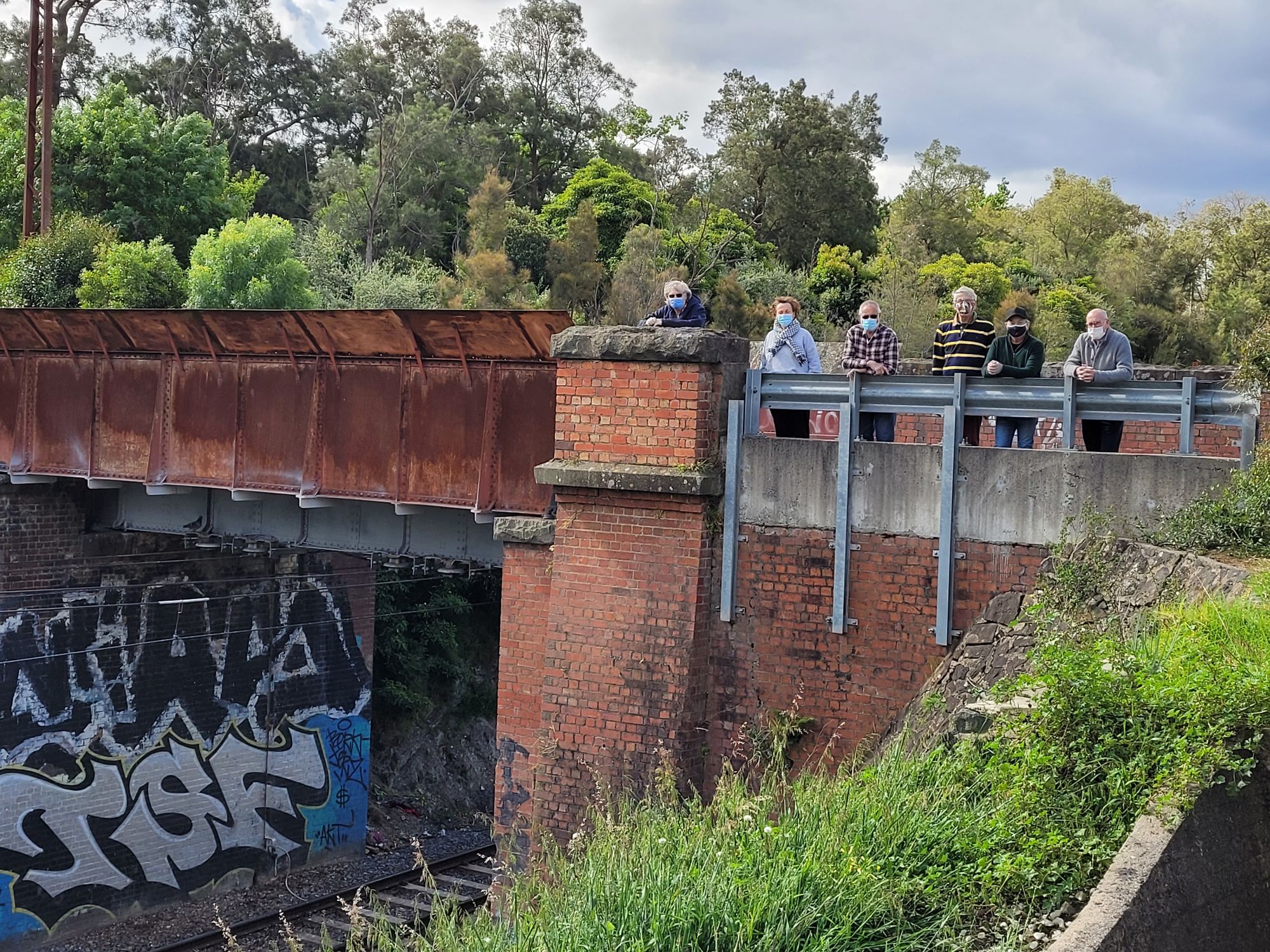
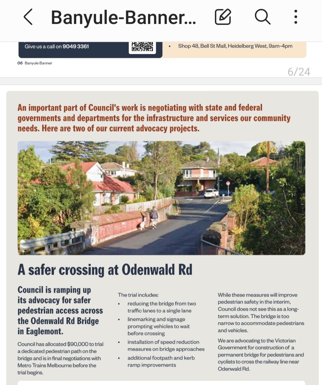
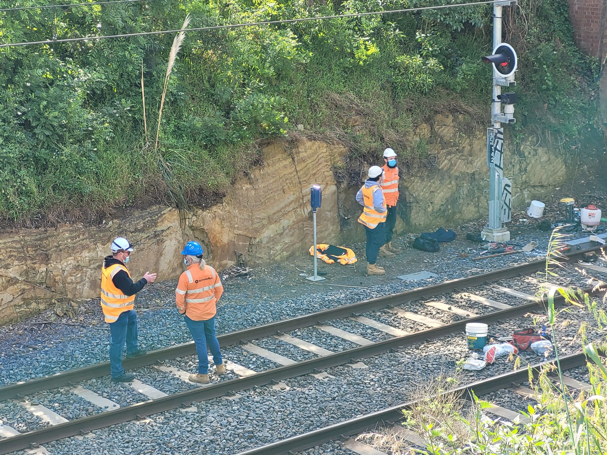
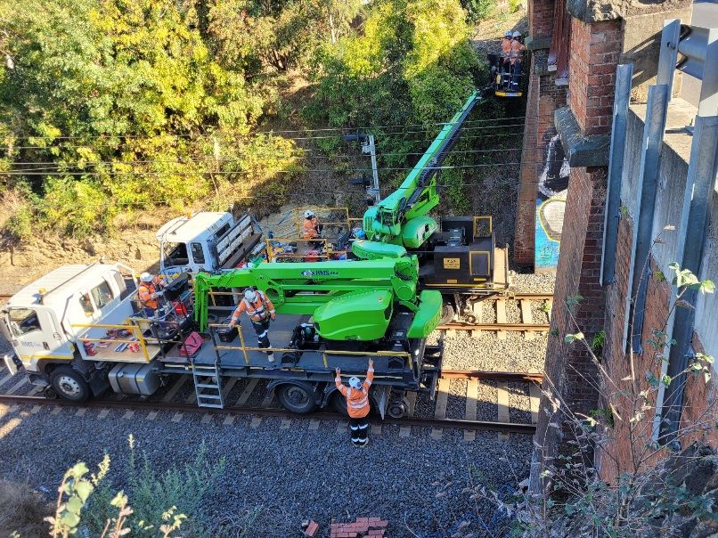
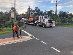
Friends of Eaglemont Village has been leading a campaign of local residents for several years to have the bridge made safe for pedestrians and vehicles alike.
Banyule Council acknowledges the need for a separate pedestrian crossing to be erected east of the existing bridge. It baulks at the estimated $1.5m price tag and seeks State Government funding.
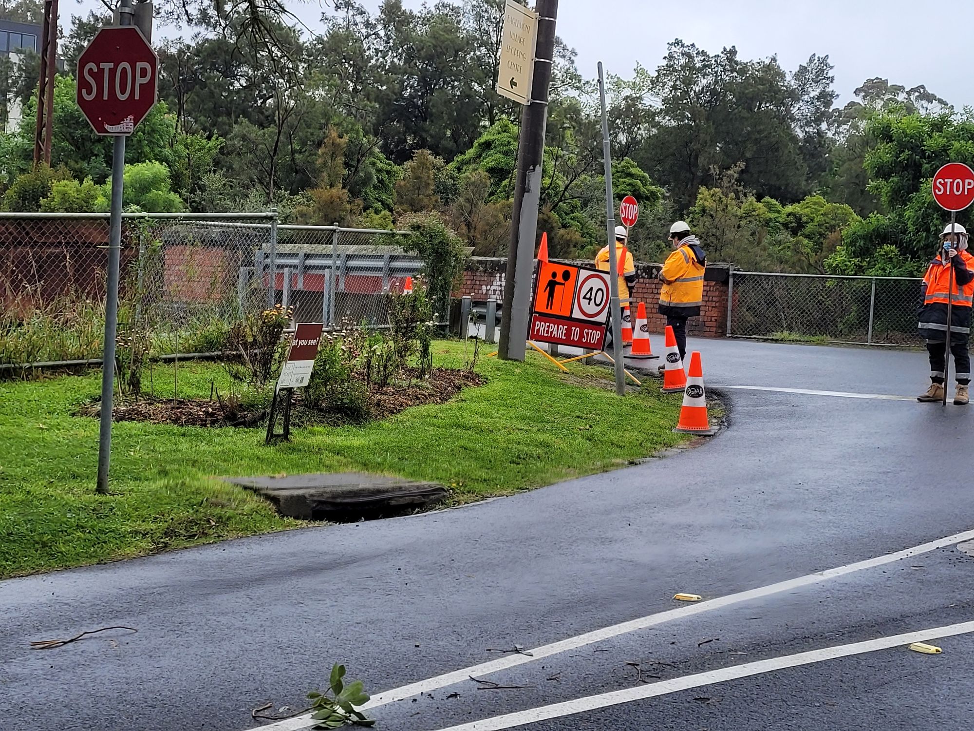
FofEV pressed the rail authorities to have an engineer assess the structural integrity of the bridge. After years of resistence they were forced by the national rail safety authority to inspect and ultimately repair/strengthen the bridge.
A 14 tonne load limit now applies despite the remedial works.
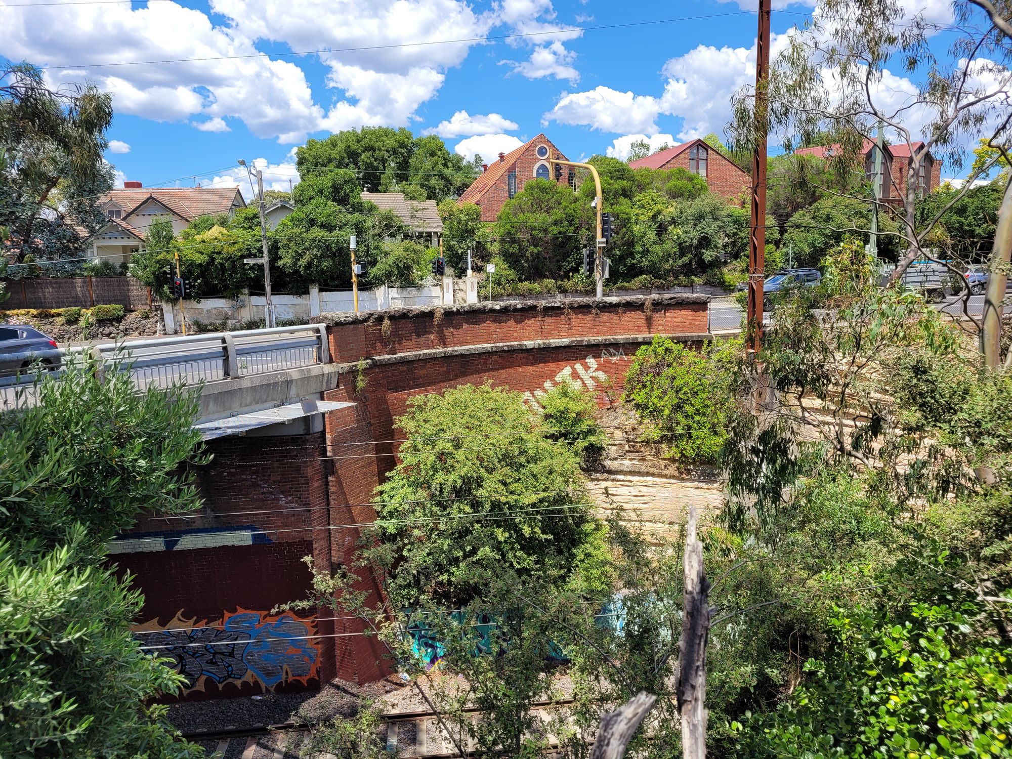
Banksia Street bridge
Now redundant post-1993 due to the Bell-Banksia re-alignment, this sturdy bridge hosts pigeons, graffiti, illegal parking and the occasional pedestrian.
Why were bridges needed?
After crossing Darebin Creek outbound the rail line enters a cutting needed to keep the grade flat enough for 1880s era steam trains hauling freight.
Two bridges are needed here to allow for the road network which remains at natural ground level.
Beyond Ivanhoe there is a valley in which a ballast embankment has been formed to smooth the grade to where Eaglemont Station now stands.
At Eaglemont the track is cut into the hillside.
Running on toward Heidelberg a major cutting was excavated to create a direct approach to that station, which was built adjacent to the major Austin Hospital.
Without this cutting the line would have wended back around the spur of Mt Eagle to approach the Yarra River before arriving at Heidelberg down near Cape Street.
In this scenario there would not have been an Eaglemont Station nor Eaglemont Village. Any intermediate station would have been over near Ivanhoe East.
Two more bridges were needed due to the deep long cutting that was chosen.
Banksia Street in 1888 was the major east-west road leading to the bridge over the Yarra en route to Doncaster and Templestowe, which were important agricultural spots.
The Odenwald Road bridge on the other hand was built as a railway obligation to keep a landowner's access to farm lands divided by the new rail line.
Member discussion