Mystery at Odenwald Bridge
Just what is being planned at the Odenwald Road bridge?
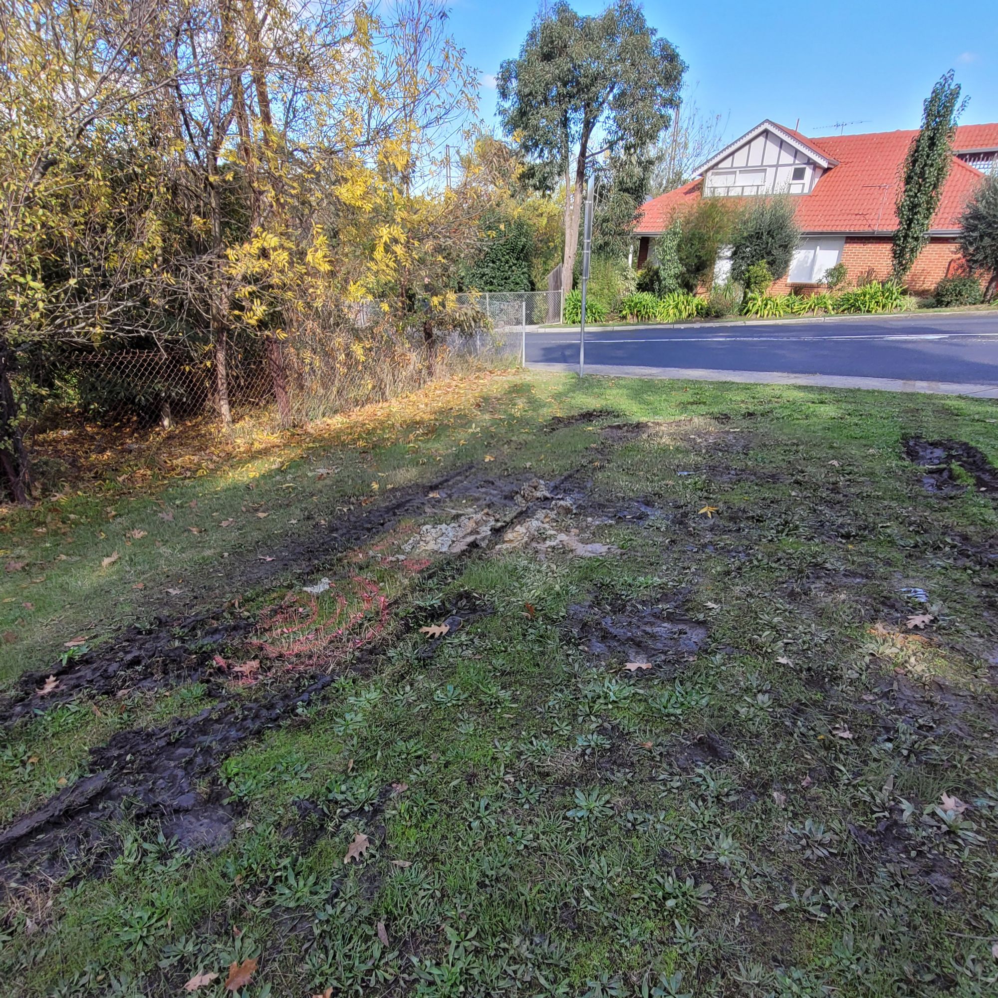
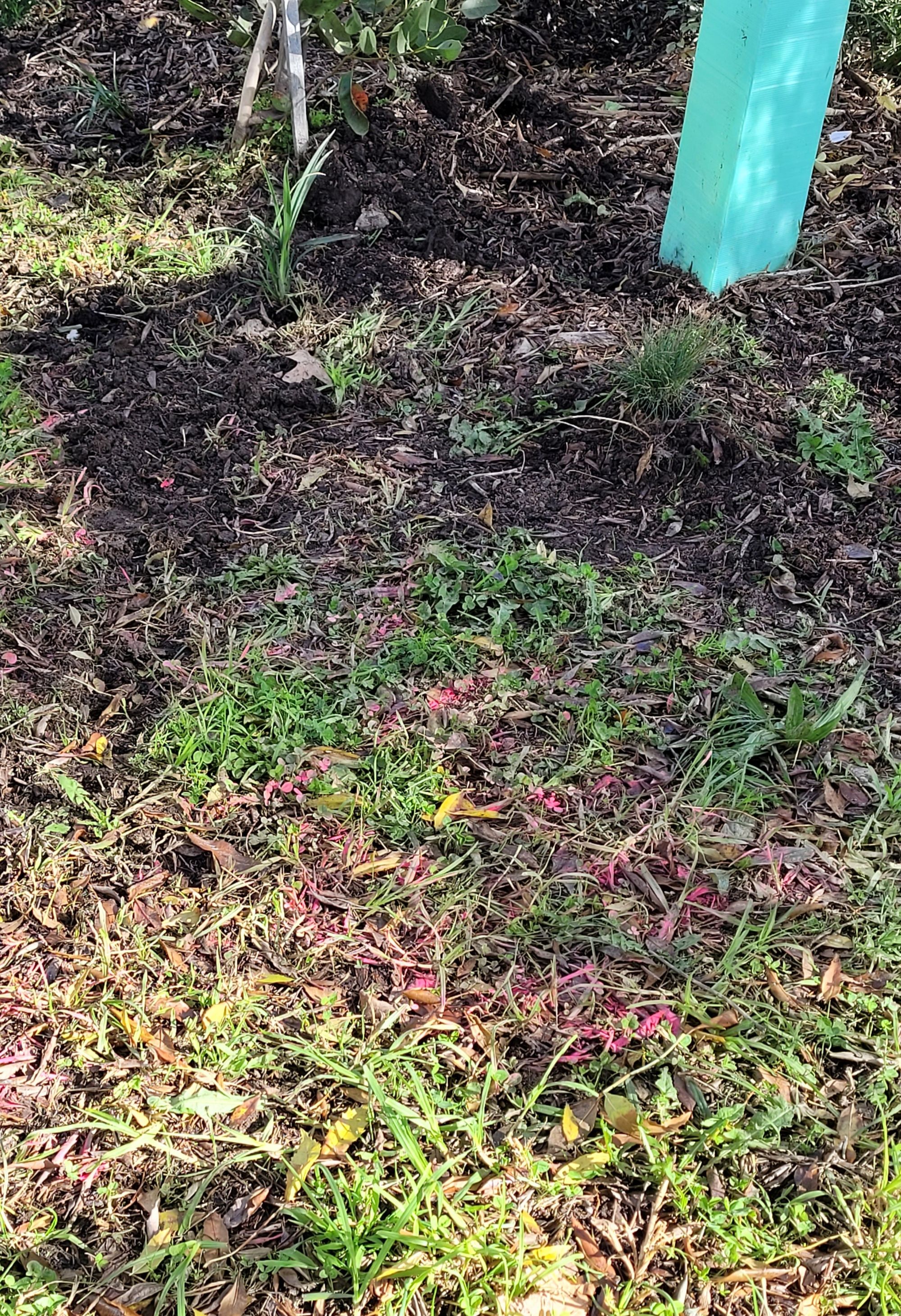
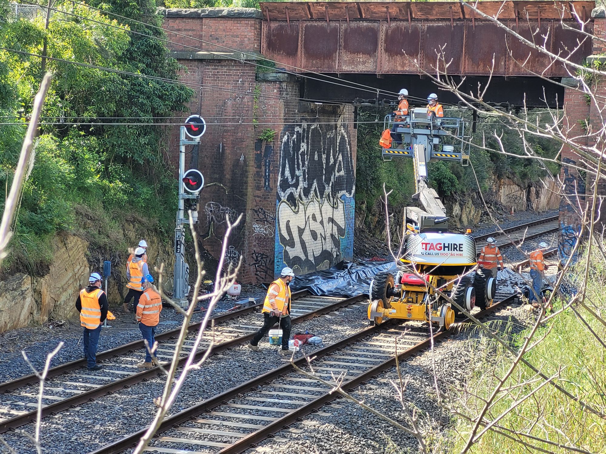
A drilling rig was on site in early May 2023 taking core samples.
Banyule Council claims not to be involved - nor informed. That takes their role as the responsible road traffic authority - dealing with pedestrian and vehicle traffic on the bridge - out of the equation.
Who does that leave?
Well there is Metro Trains Melbourne, lessee of rail infrastructure and operator of the metropolitan Melbourne rail network.
And there is VicTrack, owner of the rail system on behalf of the people of Victoria.
Two years back, after much futile interaction with all the rail authorities, Transport Ombudsman, politicians etc, Friends of Eaglemont Village sought involvement from the Adelaide-based Office of the National Rail Safety Regulator.
This body used its coercive powers to compel MTM to demonstrate it had a safe system of work in place re bridge inspections.
No more hiding from the reality of the condition of the 1888 bridge.
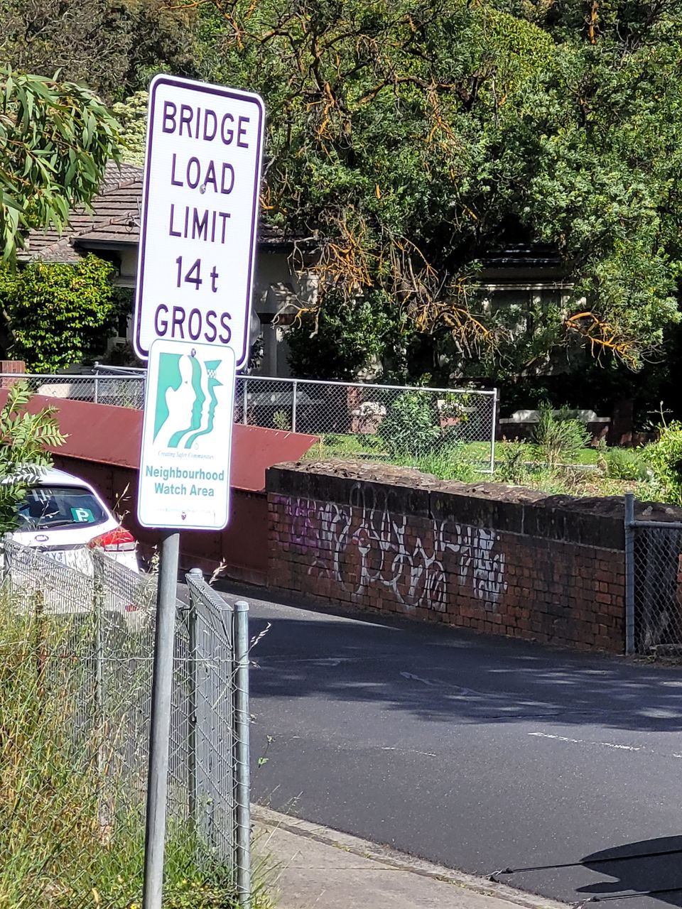
A contract specialist engineering inspection was undertaken in October 2021. Suddenly a 14 tonne safe load limit was placed on the bridge by Banyule Council at the request of MTM.
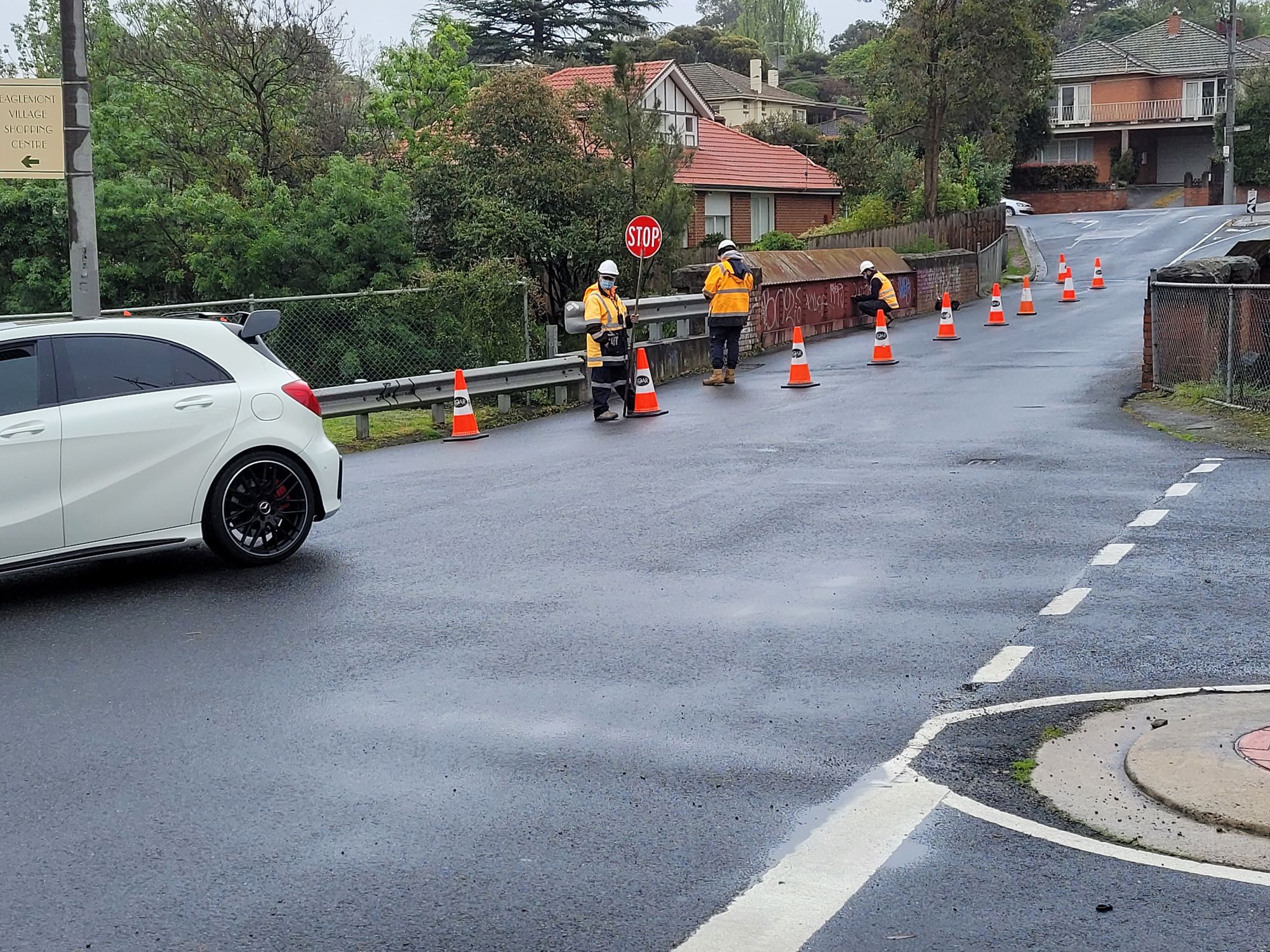
Fast forward to Easter 2022 and bridge structure repairs are undertaken, then in May 2022 repairs at road level take place.
All efforts to get a copy of the engineer's report were rebuffed - all parties except MTM denied having a copy of the report, and MTM, being a private sector body, is outside the reach of Freedom of Information obligations.
But now someone has reason to establish the load-bearing capacity of the ground on which the 1888 farm bridge was built.
Are we to get a widened, rehabilitated bridge?
Are we to get a replacement road bridge?
Member discussion